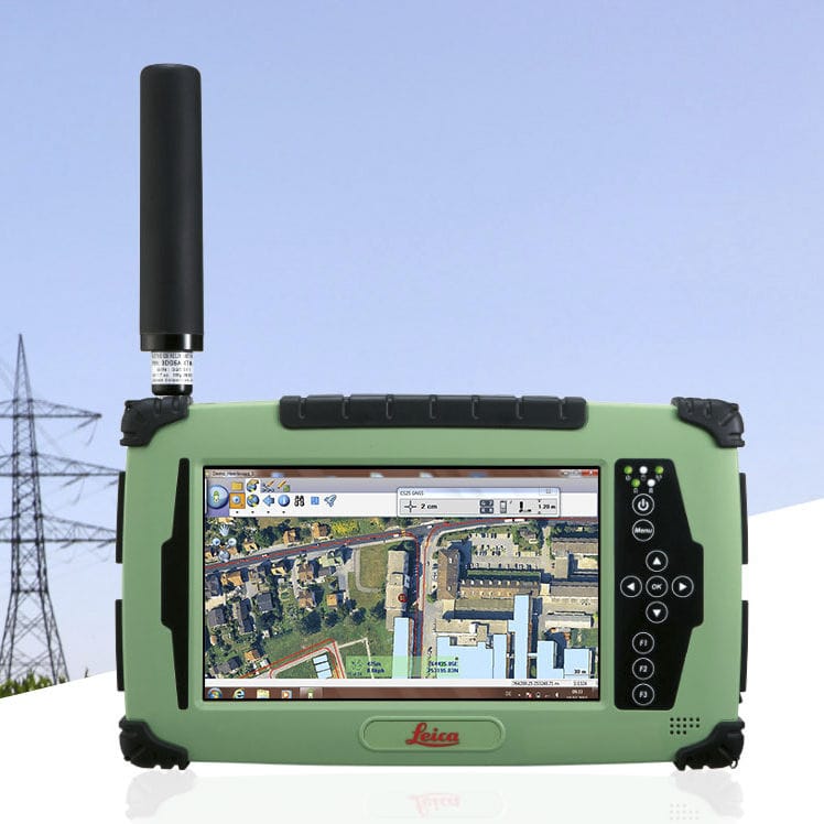
Leica Zeno GIS series
Coming standard on any Leica Zeno GIS series, Zeno Field & Office software offers an ideal combination for anyone who needs more accurate data in a GIS database. All GNSS post-processing is automated, and GIS and GNSS technologies are seamlessly combined in one easy solution. This simplifies quality control as a part of the workflow.
Leica Zeno Field
Leica Zeno Field is an OEM version of ArcPad™ 10 and provides in addition to the well-known ArcPad™ functionality: GNSS raw data logging, easy handling of GNSS configurations (such as DGPS settings), feature accuracy management and an automated workflow between the field and office. Together with Zeno Office, easily manage feature quality over time and benefit from automated import and export functions to a wide range of different formats such as ArcGIS geodatabase, shapefile, dxf, dgn, and dwg.
Leica Zeno Office
Leica Zeno Office on ArcGIS™ provides a set of tools for managing and processing GNSS and surveying data within ArcGIS Desktop, all from directly within your familiar environment. Zeno Office is a software package to maintain, manage and post-process GIS, GNSS and surveying data. With Zeno GIS you get much more done in a busy day and have full trust in the accuracy of your GNSS data.
Zeno Office brings both worlds together – Surveying and GIS. As a base Zeno Office uses ArcGIS. In combination with our knowledge on surveying software, Zeno office enables the integration of surveying measurements into a GIS database.
Synchronise your data with the automated EasyIn/EasyOut workflow
EasyOut: Define the extent of your data, select the layers/features and export the project with a single click to your mobile device.
EasyIn: Once you’re done with data collecting, add the data from your mobile device back to the office database. Data is synchronised to the office database in an automated process.
All meta data obtained on the mobile device – this can be 3D accuracy, sensor or GNSS quality information – is transferred to the office and written into the database in this step during the EasyIn. This additional information allows quality validation – only reliable data is good data.