Company
About us
NSS Canada Team
Latest News
Careers
Moss
Leica Geosystems
Partners
Leica Mining Solutions
Exyn Technologies
Contact us
Support
How to Reach Us
+1 800 461 3223
+1 800 461 3223
Mine Monitoring
Leica Geomatics
Leica - Mine Monitoring
CONTROLLERS
View Products
SOFTWARE
View Products
ACCESSORIES
View Products
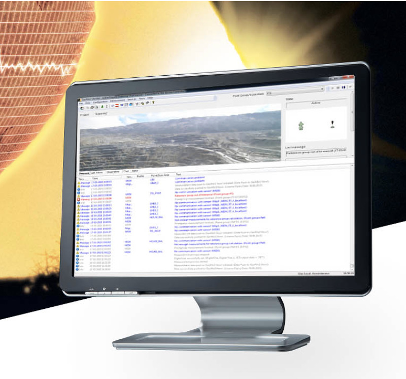
Leica GeoMos
View Product
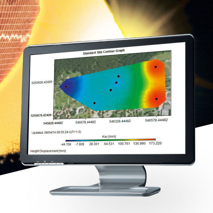
Leica GeoMos Now!
View Products
Leica M-Com mobile communication solution
View Products