Construction sites, tunnels, mines, dams, slopes – wherever you need the most precise and reliable information on structural movement. Leica GeoMoS Adjustment allows you to make informed decisions based on statistically optimised and validated data.
Leica GeoMoS Adjustment provides automatic network adjustment and deformation analysis for all monitoring projects.
Integration:
GeoMoS Adjustment seamlessly integrates into the GeoMoS automatic monitoring solution and displays data in GeoMoS Now!
Most accurate method for detecting movements
Statistical significance of movements = better decision making
Detection of unstable points
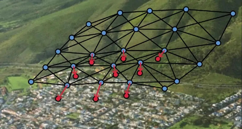
Graphical analysis & presentation of results
Simple and clear diagrams are used to show the magnitude, precision, pattern and statistical significance of the movements. Unstable reference points and monitoring points that have significant movements are clearly identified. Easily compare the results of different epochs.
Network design mode
Extended analysis Services
Consultation, training and data analysis services are available. Highly qualified engineers have more than 20 years of experience in high precision deformation surveys, network adjustment and deformation analysis in a wide range of projects.