Company
About us
NSS Canada Team
Latest News
Careers
Moss
Leica Geosystems
Partners
Leica Mining Solutions
Exyn Technologies
Contact us
Support
How to Reach Us
+1 800 461 3223
+1 800 461 3223
GIS Handhelds & Tablets
Leica Geomatics
GNSS SYSTEMS
GIS COLLECTORS
GIS Handhelds & Tablets
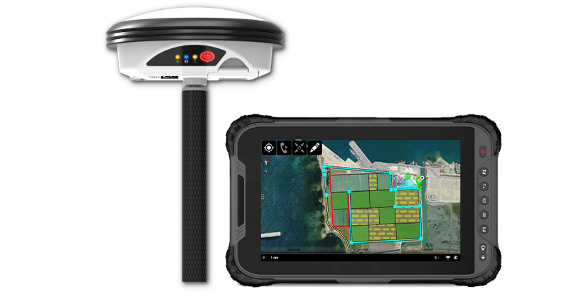
Leica GG04 Plus Tablet Solution
View Product
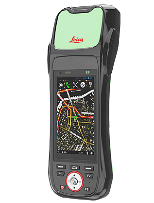
Leica Zeno 20
View Product
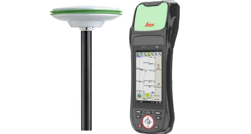
Leica ZRover FieldGenius
View Product
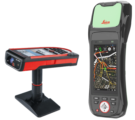
Leica Zeno 20 & Disto S910
View Product