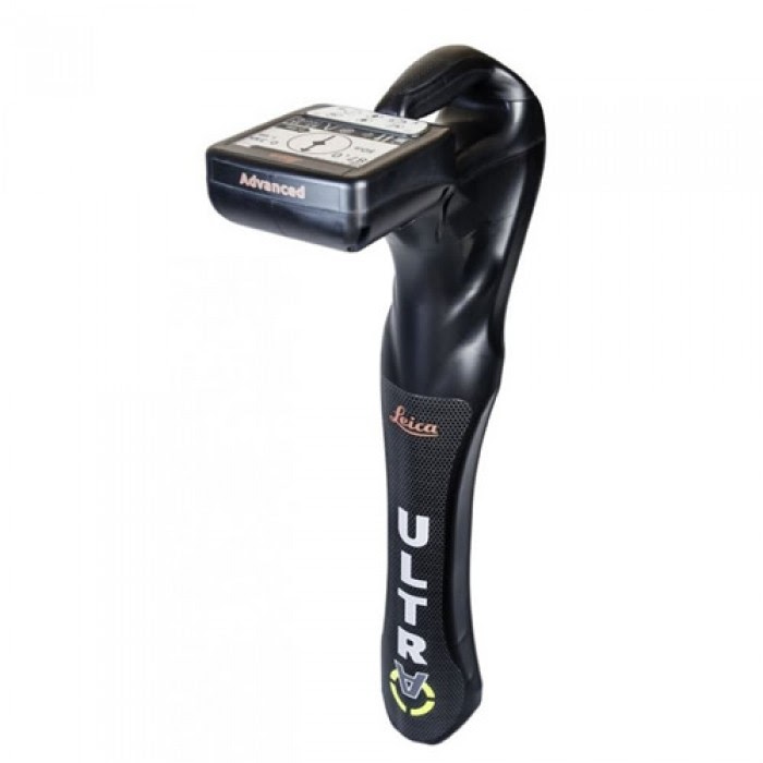
Optimised specifically for utility tracing The protection of buried assets during excavation work demands accurate mapping and surveying of existing utilities. Integrating intelligent signal processing with unique flexible operating modes, Leica ULTRA traces buried utility lines accurately for safe underground excavations and utility surveys.
Configuration for challenging environments
The Leica ULTRA locator can be configured for different project environments and has more than 100 programmable operating frequencies available.
Best frequencies in congested environment
When working in congested environments, the Leica ULTRA incorporates Ambient Interference Measurement (AIM), which digitally analyses the surrounding area for noise and recommends the best frequencies for accurate utility tracing.
Trace utilities through any obstruction
There will always be an occasion when the utility runs close to or underneath an obstruction. With Offset Measuring, the Leica ULTRA locates the target line if not directly accessible from above. The function uses the available data to estimate the horizontal and vertical (depth) distance.
Transmitter to receiver link
Control the transmitter directly from the receiver with the cutting-edge communication link between the Leica ULTRA receiver and the transmitter. No more walking from the tracing line to the transmitter, simply adjust the settings automatically.
GNSS & GIS integration
True one man, single-step data capture solution for buried utility mapping or surveying applications.